Cañón de Guadalupe

Across the Laguna Salada dry lake to a palm canyon where hot-spring tubs are carved into the granite — the desert’s best-kept overnight.
Trip vitals
Distance
85miles
Duration
2–3 days
Route shape
Out and back
Vehicle
4x4 required
Season
Oct–Apr
Summer is dangerous heat; the lakebed after rain is impassable grease — check before every crossing.
Surface mix
40% paved45% graded dirt15% 4×4
Longest fuel gap
170miles

Fill the tank before you leave the border. Top off any time you’re at half.

Start & end
Mexicali East → Cañón de Guadalupe

MEX-5 the whole way. Return on the same highway.

Updated: Jul 27, 2026
Before you go
This trip requires Mexican auto insurance — U.S. policies don’t count south of the border.

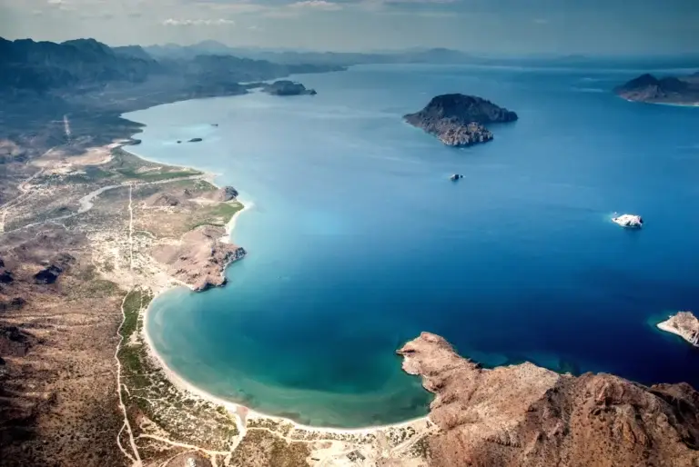
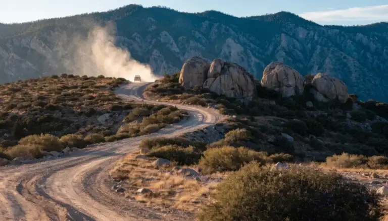
An hour from the Mexicali crossing, the pavement ends at the edge of Laguna Salada — a dead-flat dry lake the size of a small sea — and the fun begins: a sandy, washboarded track across the lakebed and up an alluvial fan into a slot in the Sierra de Juárez where thousands of native palms crowd a creek, waterfalls run in the granite, and the campsites come with private hot-spring tubs chiseled into the rock.

Members read the full route guide

The complete story, trip vitals verified by members who drove it, and the GPS file to take with you — every route in the library. $40 a year.

Join the club to keep reading

Already a member? Log in.

85 mi · Out and back
Members only

The member map for this route

What's in the file
Track (Mexicali East → Laguna Salada crossing → Cañón de Guadalupe) + 8 marked points: 2 camps, 1 fuel, 1 checkpoint, border FMM stop, and the stops worth making

Members get this for every route in the library — a growing library of Baja trips — plus the camping, fuel, and checkpoint notes that go with them. The file loads straight into Gaia GPS, OnX Offroad, or a Garmin. $40 a year.

Already a member? Log in.
8 points
Camps · Fuel · Checkpoints

Before you go — read this

Baja changes. Roads wash out, camps close, a Pemex that was there in March can be dry in November. Everything on this page came from members who actually drove it, on the date stamped at the top — but conditions on the ground are yours to verify.

The GPX track is a planning aid, not a navigation authority. Don’t follow a line on a screen into terrain you can’t see. Carry paper backup, tell someone your plan, and turn around when the road tells you to.

Mexican auto insurance is required by law and your U.S. policy doesn’t cover you. If something goes wrong without it, the situation gets much worse very fast. Get a quote before you cross.

Search

What are you looking for?

Articles · guides · conditions reports · club news