La Ventana & the Cerralvo Channel

A panga-fishing village an hour from La Paz, a channel full of pelagics, and a winter wind scene that fills the beach — the anglers’ base with a second act.
Trip vitals
Distance
1,090miles
Duration
10–16 days
Route shape
Point to point
Vehicle
Any 2WD
Season
Year-round fishery: dorado Jun–Nov, wahoo and tuna in the warm months, yellowtail Dec–Apr
El Norte wind blows Nov–Mar afternoons.
Surface mix
97% paved3% graded dirt0% 4×4
Longest fuel gap
200miles

Fill the tank before you leave the border. Top off any time you’re at half.

Start & end
San Ysidro (Tijuana) crossing → La Ventana

MEX-5 the whole way. Return on the same highway.

Updated: Jul 28, 2026
Before you go
Towing a boat? You need Mexican boat insurance as well as auto — U.S. policies don’t cover either one south of the border.

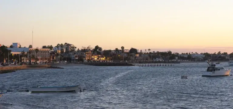
La Ventana sits on a bay facing Isla Cerralvo, and the channel between them is the reason anglers keep a pin on this town: a deep-water lane where the pelagic highway runs close enough to reach in a panga before the coffee’s cold.

Members read the full route guide

The complete story, trip vitals verified by members who drove it, and the GPS file to take with you — every route in the library. $40 a year.

Join the club to keep reading

Already a member? Log in.

1090 mi · Point to point
Members only

The member map for this route

What's in the file
Track (San Ysidro → La Paz → La Ventana) + 11 marked points: 3 camps, 3 fuel, 2 checkpoints, border FMM stop, launches and the stops worth making

Members get this for every route in the library — a growing library of Baja trips — plus the camping, fuel, and checkpoint notes that go with them. The file loads straight into Gaia GPS, OnX Offroad, or a Garmin. $40 a year.

Already a member? Log in.
11 points
Camps · Fuel · Checkpoints

Before you go — read this

Baja changes. Roads wash out, camps close, a Pemex that was there in March can be dry in November. Everything on this page came from members who actually drove it, on the date stamped at the top — but conditions on the ground are yours to verify.

The GPX track is a planning aid, not a navigation authority. Don’t follow a line on a screen into terrain you can’t see. Carry paper backup, tell someone your plan, and turn around when the road tells you to.

Mexican auto insurance is required by law and your U.S. policy doesn’t cover you. If something goes wrong without it, the situation gets much worse very fast. Get a quote before you cross.

Search

What are you looking for?

Articles · guides · conditions reports · club news