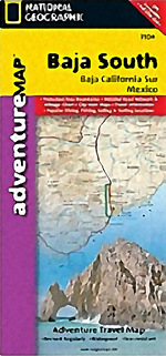
Baja South Adventure Map National Geographic
National Geographic’s Baja South Adventure Map combines detailed terrain with local information on the entire State of Baja California Sur. Includes detailed insets La Paz, San Jose Del Cabo, Cabo San Lucas, and the Cabo Resort Corridor.
Coverage Highlights: Federally Protected Areas, including parks and reserves, provided by the Nature Conservancy of Mexico; detailed road network, ferry routes, and mileage charts; UNESCO World Heritage Sites; historic mission locations; popular diving, surfing, fishing, snorkeling, whale watching, and scenic viewpoint locations; detailed terrain with shaded relief; useful travel information
Approximately 4 1/4" x 9 1/4" folded
25 1/2" x 37 3/4" fully opened
Scale = 1:450,000
Contour Interval = 100 meters
Adventure Maps provide global travelers with the perfect tool for navigating cityscapes and more remote attractions. Each title contains accurate topography, up-to-date roads, points-of-interest, and detailed inset maps for major cities, plus a host of important travel tips. Adventure Maps are printed on the same durable, waterproof, and environmentally friendly material as our Trails Illustrated maps, making them ideal for the rigors of international travel.