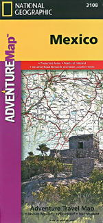
Mexico Adventure Map National Geographic
National Geographic's Mexico Adventure Map is designed to meet the unique needs of adventure travelers with its durability and accurate information. This folded map provides global travelers with the perfect combination of detail and perspective, highlighting hundreds of points of interest and the diverse and unique destinations within the country.
The north side of the Mexico map details from the U.S. Border south to Aguascalientes, including Baja California, Chihuahua, Tijuana, Mazatlan, and Monterrey. The south side overlaps with northern side and covers the remainder of the country, plus Belize and nearly all of Guatemala at the same scale. Some of the major cities included on the southern side are Acapulco, Cancun, Mexico City, and Guadalajara.
Key Features:
Waterproof and tear-resistant
Accurate topography/terrain with a clearly labeled road network
Hundreds of points of interest, including the locations parks and nature reserves, protected lands, historical and cultural attractions
Thousands of place names including towns and natural features; detailed place names index
Important travel networks including airports, lighthouses, ferry routes and rail lines
Updated regularly to ensure accuracy